Links to videos:
https://www.youtube.com/watch?v=jK1qThDkS0k
https://www.youtube.com/watch?v=HEOr5W7GsLU
https://www.youtube.com/watch?v=IJQCy1h4SfU
https://www.youtube.com/watch?v=Y5axZxLrFU0
Isabelle is laid up with an injured ankle. We have rented a furnished
apartment in Quito for a month while she recovers. She is doing better each
day. We had planned to do a multi-day rural tour in the highlands south of
Quito. We had also invited our friend George to ride with us. George is an
English/Ecuadorian motorcycle enthusiast we met during our stay at his family’s
Hosteria Rose Cottage in Otavalo. He shares a passion for music, especially vocal
music, having attended a high-performance English choir school as a child. Isabelle
very generously offered to lend her moto to George and insisted that we
complete the tour while she recuperates in Quito. This four-day tour would have
been too dangerous to do alone. Thanks for sharing it with me, George!
This posting is the story of that tour.
Day 1 of Quilotoa loop
George and I left Quito at 3 pm. The Pan-American highway brought us
into Banos at about 6:30 pm. We were given partial views of Volcanoes Cotapaxi
and distant Chimborazo along the way. Banos is set in a beautiful valley and is
within reach of many outdoor activities. Its many hotels and lively night life
serve as a base camp for outdoor adventures, much like a ski town in North
America does.

Getting sandwiches for the ride out of Banos
Day 2 of Quilotoa loop (Banos to Salinas)
An early start got us riding down into the jungle east of Banos. The
plan was to ride down and back, to return in time for breakfast at the hotel.
It was an extra excursion that was outside our planned loop. We didn’t realize
at the time that on day four we would experience the jungle more fully, below 700m
on the western slopes of the mountain range.
We only got partially into the humid leafiness because there was a lot
of altitude to lose and breakfast smelled good in our imaginations! We passed
through dripping tunnels, beside numerous waterfalls and above deep gorges
glimpsed through the mist. The good paved road allowed us to move quickly. The
vegetation was at least as lush and thick as anything I had seen in Central
America.
West of Banos lies the city of Ambato. We filled our tanks there for the
almost 600 km journey we had planned that wound its way north along the spine
of the Andes back to Quito. We wouldn’t be seeing another gas station for a
long time.
The good paved road after Ambato brought us higher and closer to Volcan
Chimborazo, the highest point in Ecuador and the closest point on earth to the
sun. Our hearts were set to racing as the giant rose, the clouds revealing more
and more of its height. During the approach, we first rode across sparse
grasslands then barren expanses of rounded hills covered in volcanic gravel and
ash. Chimborazo is an active volcano. We turned off the road, riding over the
volcanic till that supported the heavy motos well. We settled on a spot for
lunch at 4,400m (about 14,300 ft). The view of the active volcano from our
vantage point was nothing short of spectacular even though the top half never
was revealed. We were about as close as you could get to the volcano’s glacier
with a motor vehicle.

Volcan Chimborazo Drone Photo

Highlands Highway

Volcanic till and ash

Chimborazo played hide and seek with the clouds

Wild Vicunia in the Highlands near Chimborazo

Silhouetted against the clouds

Lunchbreak at 4,400m

Chimborazo Half Hidden by Cloud

Ash fields at 4,400m
We rode through the rain and down into Salinas on a good road, arriving
in time to take a little hike up the valley behind the town. There were
vertical walls of rock that rose to form the back vertex of a steeply floored,
v-shaped valley. There was a damp cave to explore near the top. We walked down
the secluded valley and peered over the cliff on which a big white cross was
placed. The town was laid out like a map
below.

Starting off for Salinas

Salinas From Above
The salt mine on the south end of town must employ several people from
the town. There are also a famous cheese and a chocolate factory. Tourism
rounds out the town’s busy economy. Freedom Bike Rentals come through every
weekend with a group, according to the owner of our hostel, and stay at his
place.

Lobby of Our Hostel
The sun set as we sat on a park bench in the village square watching a
heated volleyball match. The hostel was very nice and almost empty, it being
the middle of the week. It cost $15 for a nice private room and bath for the
night.

Vertical Cliffs that frame the town
Day 3 of Quilotoa loop (Salinas to Angamarca)
An early start and clear skies in the morning allowed us to move at
about 20 km/hr over the double track dirt roads. The clear skies afforded great
views as we rose above 4,000m again. We had lunch in Talaguapungo where I gave
out some Canadiana souvenirs that put smiles on children’s’ faces. If you look
up these place names on Google maps you might find them but you won’t find the
roads going north that we went on next.

Scenes from the Morning Ride

Things became rough north of Talaguapungo. The dog biting my leg as we
rode out of town might have forewarned me of the change in our luck. What is it
with motorcycles and dogs? The rain, mist and fog added new dimensions of
difficulty, making forward vision a strain. There were almost constant “death
plunge” drops on one side of the road but we couldn’t see down them very far
because of the fog.

Drone Photo north of Salinas
The village of Facundo Vela marked the beginning of real toil. Mud and
roads turning into little rivers became the norm. We took the shortest route north
towards the town called El Corazon at the fork. This narrow road eventually
crossed the Rio Jinambi and led toward El Corazon. After El Corazon it looked
on the map like a clean ride to Zumbahua, then a paved road to Quilotoa for the
night. We passed many indigenous people, waving at each person or group as we
encountered them. They responded in kind but gave no warning of what was ahead.

Fantastic views
The road became a flowing muddy track that constantly switched back
sharply on its self as it fell down into the jungle below. This lasted for 45
minutes (about 8 km), until the road simply wasn’t there any more. I had taken
a bit of a hard fall about ten minutes before. The way had been rough and I was
moving very slowly. I hadn’t seen a softball sized stone in the track. The
stone deflected my front tire rapidly to the left, soon after the bike and I connected
with the ground on the right.

Fun Roads
George took the lead. He was the best choice for point man because he doesn’t
wear glasses. His vision is not obscured in the rain and mist. Suddenly, George
braked, causing his front wheel to dig into the mud and for him to take a
tumble. Better that than to try out the death plunge ahead. He landed about 10m
before the precipice. I had already committed to following him down a slope that
led to the landslide before I saw him fall. I steered to the inside to avoid
George’s downed bike. The outside choice would have led to the ever-present
death plunge. My wheels bogged down in the deep mud at the bottom, in front of
the landslide scar. We walked ahead to inspect the void before us,
simultaneously coming to the conclusion that the long way to El Corazon was in
fact the better choice.

Above the Clouds
Turning around was lengthy and possibly a little dangerous because of
the vertical drops so close to our footings. Much pushing, spinning of tires
and slinging of mud got the job done and we were on our way, reversing our
course within 15 minutes. We passed the same groups of people working in the
rain at the road-side but held back the urge to comment. The impasse in the
road was likely weeks old, another result of the difficult rainy season just
ending, but no one had warned us.

Too High for Farming
Back at the fork, 2 hours after our first time there, we turned
northwest toward the Rio Pinanato crossing. An hour of tough riding brought us
to the road leading east, toward El Corazon, the town we were beginning to
think we would never see. We didn’t find the rough track marked on the map that
went more directly east toward El Corazon. We took the longer loop north that
used a paved road at times, finally reaching the elusive El Corazon.

Clouds from Above
Quilotoa, our objective for the day, was still 100 km away. It was too
late in the day to ride that kind of distance in these conditions. We scaled
back our expectations to Zumbahua, having seen numerous hotels on the map there
while we ate breakfast. We had coffee and snacks in El Corazon before setting
off again, unaware that we would not even make it to our scaled back objective
before dark.

The "Real" Ground is Somewhere Below
A few minutes out of town there was a fork in the muddy road. The sign
said Angamarca (a waypoint on our intended route) to the right but the GPS
preferred the much shorter left turn. Our time and distance calculations had
been based on the left turn. A pick-up truck stopped and the driver helped us
make our decision informing us that the left turn was not a possible route to
Angamarca, its condition was too poor. We chose to heed their advice after our
landslide encounter and we turned right.

Carpet of Cloud Close to Sunset
The going was slow and made more difficult by the loss of light. Sunset
at the equator is quick. There is not the slow ceremony we are accustomed to at
higher latitudes. We pulled into Angamarca well after dark. There had been no
indication of hotels here during our search at breakfast so we started asking.
I had read on travellers’ blogs that when you are stuck and in need of a bed
you should ask around in the nearest town, often someone will have space for
you.

Bikes Safe Inside for the Night
We eventually stumbled upon someone at the tiny church plaza offering to
take both of us and the bikes in and to feed us for $10. The only hitch was we
had to get the bikes up two large steps then two more steps and through a
corner doorway. Our host had three strong sons and an idea.

Sweet Slumber
He brought out a 2X10 plank and made a ramp up the first set of stairs.
We hummed and procrastinated long enough for one of the sons to jump on his
two-stroke and show us how it was done. He mounted the ramp with ease on his
little bike that has a quarter the weight of mine.

"I thought I heard pigs last night"
Seeing that I still wasn’t impressed our host pulled out another plank,
laying it on top of the first one. A milk crate and a leaned over bench provided
further support underneath the make-shift ramp and we gave the plan a try. I
put the front wheel of the 1200 gingerly up the ramp while the lads balanced
things, pushing on either side of the bike. I gave a tiny amount of throttle
and slipped the clutch gently to complete the climb. The top plank splintered
and was shot backwards by the force of the engine but the tiny bit of forward
momentum generated was enough to carry the bike and I to the level concrete
slab above. OK, one down…or up and one
to go.

Photo of the stairs and corner door in the morning
Convinced by the splintered plank that brute force doesn’t work I
decided to try momentum and courage. A small running start worked much better
and required no power delivery while the bike rolled up the wood. The 700 made it
easily beyond the narrow ramp onto the concrete slab above. Getting the two motos
up the next set of steps and through the corner door was accomplished using
brute force but this time that force was provided by the lads and their friends
who had gathered to watch the spectacle.

Bikes at Ground Level Again
The motos were tucked in safely beside two covered and very dusty pool
tables for the night and we were shown our beds. We stepped through the kitchen
where our host’s wife was tending to four large caldrons on a long gas stove.
Continuing through the pantry, up the stairs, out the short doorway (duck!) up
more stairs past family’s outdoor toilet, finally up more uneven stairs to a
six-bed bunk room. We had the room to ourselves.
That night we enjoyed a wonderful dinner of simple food with this rural
Ecuadorian family. There were smiles and much chatter during “cena” (supper). The
Mom gave a humble shrinking gesture to accompany, “Gracias” when I complimented
her cooking. Everyone was interested in the story of our journey and had
questions about our homelands. Our host, the patriarch, had a sophistication
and subtle confidence his sons had not yet acquired. His mature, measured gestures
and speech were in contrast with the bolder booming of his sons. We excused
ourselves at about 9 pm and went to bed. It had been quite a day!
Day 4 of Quilotoa loop (Angamarca to Quito)
Using a combination of rocks, bricks and the dreaded planks we got the
two motos safely to ground level. George shook hands with and gave our host a
$20 bill, double the agreed price. That produced a big smile. Then it was my
turn and his smile changed to a look of incredulity. A minute later his wife
gasped and put her hands to her mouth when shown the two twenties. We had the
pleasure of bringing a bit of joy to this family and it was so easy. We also
encouraged their continued kindness toward other travelers.
The way out of Angamarca overlooked deep lush valleys and passed by Moms
and Dads walking their uniformed children to school. Each group we passed gave
a smile and a greeting. Fourty-three kilometers ahead lay Zumbahua, then a
paved road to the main event of the trip, the Quilotoa crater lake.

Crisp Winds and Brilliant Highland Views
Clear skies made for crisp winds on the highlands we rode over that
morning. The vistas truly were breathtaking and led to much picture taking. We
rose past 4,000m a few times, eventually reaching 4,200m elevation. We looked
down on mountain tops poking through an endless sea of cloud. There was no sign
of the “real ground”, just the distant horizon of fluffy white.

Stopped to Set Up a Drone Shot at 4,200m
We stopped and made some drone shots but the altitude eventually proved
to be too much for the little buzzer. The smallest of downdrafts sent the
flying camera crashing to earth. We got a couple of good shots and paid for
them by clamouring around the slopes looking for the downed drone, breathless
from the effort at high altitude.

Highland Plants on a Sheltered Slope
By 10 o’clock we reached an unnamed village. It does not appear on any
of the maps I have seen. The approach to it revealed extensive damage from a
trying rainy season. Evidence of landslides, flooding and the presence of muck
everywhere told their story. The route over the mud-covered cobbles that paved
the village plaza was blocked by caution tape. We asked for directions through
town to continue on toward Zumbahua. Watch the attached video to see the fun
that resulted from this request for help. Once again, the tiniest bit of
generosity, in this case a few gifts of Canadiana stickers and key chains, broke
the ice.

Finally, Quilotoa!
It was in fact an hour’s journey on easy gravel and in great weather to the
substantial town called Zumbahua. Lunch in Zumbahua was followed by beautifully
paved roads that lead us to the long anticipated Quilotoa crater lake. The cauldron
is covered by a large, calm lake that contrasts with the violence that formed
the crater. The lake is a strong turquoise colour and is perfectly protected
from wind by the high, circular sides of the extinct volcano. We took many
photos and much drone footage, then we just sat and listened to the wind and
the birds. We were the only people at our vantage point and did not have an
urge to leave.

Quilotoa From the Drone's Perspective
The way north from Quilotoa began with some wonderfully fast mountain
curves, on perfect asphalt surfaces. Half an hour later the road scars began. Large
chunks of the new road had been swept away by landslides. One end of a bridge
was missing and a temporary gravel route had been constructed. Cracked and
slumping tarmac forewarned of future landslides. Some of the work sites were
really rough, even for our bikes. Regular cars wouldn’t make it through. Deep
mud, sand and stream crossings at washed out bridges characterized the numerous
landslide repair sites. Not surprisingly, we encountered no traffic for many
kilometers.

Looking back up the Trail from the Lake
A coffee break in Sigchos meant we were about to begin the last
difficult part of the trip, the road north through San Francisco de las Pampas
to La Union del Toachi and the paved highway. The climb brought us back into
the clouds and mist and muddy roads. All out rain followed for hours as we
slogged our way once again through a tough, challenging and fun ride.

Quilotoa Scene
The last portion of the route was below 700m elevation and we were
thrilled to find ourselves in real jungle. Waterfalls, huge plants, fast
rivers, new smells and humid air surrounded us as we picked our way forward. We
got to the E20 just before dark. We had abandoned our plan to cross it and to continue
on the muddy jungle double track. That route made the climb up and over the
mountains surrounding Quito. We would have to save it for another time.


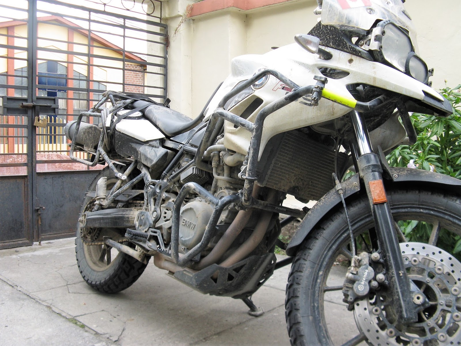
It's been a Muddy Trip!
We turned right hoping to complete the 2500m climb into Quito quickly on
tarmac. There was a huge traffic jam. We filtered past kilometers of cars and
trucks before we reached the site of yet another landslide clean-up. We were
waved on by the police as the machines worked to repair the damage. This often
happens, motos being waved on at construction sites. We emerged on the other
side to find that we had the road to ourselves. It became very foggy for the long
climb to the Pan-Am highway and seemed to take forever. We finally got home at
8:30, having ridden for about 13 ½ hours. It had been another huge day, one of
tremendous variety and challenge.

Jungle Scene Below 700m Elevation
The entire four-day trip outlined above, featured some of the best
riding and scenery I have experienced. Interactions with every-day Ecuadorians,
people not employed in service industries, remain and resound with me. I resolve
to include a multi-day rural tour like this in each new region Isabelle and I
encounter throughout South America.

George's Drone Video Summing Up the Trip
Isabelle’s ankle will soon be healed and she will be capable of
continuing the adventure. We love visiting the many fantastic tourist
attractions along our way, they are called “attractions” for very good reasons.
Rural, off the tourist track routes provide additional and unique opportunities
to experience and to come to some understanding of the land and of the people
in a new region.
It is the wish for these rich experiences, the empathy and understanding
that may come from them, that caused us to accept the risks and to embark on
this wonderful motorcycle journey.